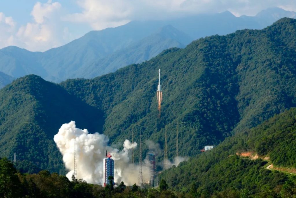
China to launch next-generation Beidou satellites in 2027 (Image Credit: Space News)
HELSINKI — China has announced a strategic roadmap for advancing its Beidou positioning and navigation system by 2035, in a move which could have global implications.
The country plans to complete key technology research for the next-generation Beidou system by 2025 and launch three test satellites around 2027, according to the “Beidou Satellite Navigation System Development Plan before 2035,” released by the China Satellite Navigation System Management Office (CNSO) Nov. 28.
The next generation of Beidou system networking satellites will then be launched around 2029. The construction of the next-generation Beidou system will be completed by 2035.
China already has a 30-satellite Beidou system providing positioning, navigation and timing services globally. It features 24 satellites in medium Earth orbits, with eight in each plane, excluding backups. There are three Beidou satellites in inclined geosynchronous orbits and three satellites in geostationary orbits.
The upgraded Beidou system will use satellites in high (likely referring to geosynchronous), medium and low Earth orbits, according to the report.
The new system will provide real-time, high-precision, and highly reliable navigation, positioning, and timing services across Earth and near-Earth spaces, with accuracy ranging from meter-level to decimeter-level, according to state media Global Times.
The system will support user terminals spanning from Earth’s surface to deep space, and integrate with other non-satellite-based navigation and timing technologies.
Beidou, like the U.S. Global Positioning System (GPS) and other systems from Europe and Russia, are used for civilian applications such as driving, aviation, and maritime navigation worldwide, as well as supporting industry, agriculture and finance. They also have military applications through precision-guided munitions, UAVs, and battlefield navigation.
Notably, the system is already widely considered to be superior to the GPS in some areas. GPS’s capabilities are already “substantially inferior to those of China’s Beidou,” according to the National Space-Based Positioning, Navigation and Timing Advisory Board (PNTAB). While Beidou has unique advantages, such as two-way communication and regional accuracy, GPS still dominates globally in terms of adoption and certain technological benchmarks.
Meanwhile, U.S. efforts to modernize GPS face delays and technical challenges, according to a Government Accountability Office (GAO) report.
An improved, next-generation Beidou could see China far surpass the U.S. and others in PNT capabilities. This could see it become the most favored system, expanding its commercial and economic influence, position China as a provider of global public goods and enhance its soft power, and provide enhanced military capabilities.
This effort aligns with China’s broader national initiative for a Space-Ground Integrated Information Network (SGIIN), which aims to merge communications, remote sensing, navigation, weather forecasting, and other satellite services into a unified system. Beidou’s integration into SGIIN would potentially enhance its utility and further solidify its role in global satellite infrastructure.
China is planning at least two low Earth orbit megaconstellations for communications, and has already built up remote sensing infrastructure in orbit through its Gaofen and Yaogan systems. China launched its first Beidou satellite in October 2000. The final pair of backup Beidou-3 satellites—the 59th and 60th launched during the program—launched on a Long March 3B rocket in September.


